ROUTE № 01
Statewide flagship
Pavement
Photo slot · img/rides/scenic-byway-12.jpg
Scenic Byway 12
The one road every rider on earth should be measured against.
The one road every rider on earth should be measured against.
Route line traced from OpenStreetMap — the real GPX drops when we ride it with the GoPro.
A knife-edge ridge with pavement on top and canyons falling away on both sides. Respect it; savor it.
9,600 feet of aspen switchbacks — 30 degrees cooler than the desert you just left.
The road pours through bare sandstone like it was routed by water. It basically was.
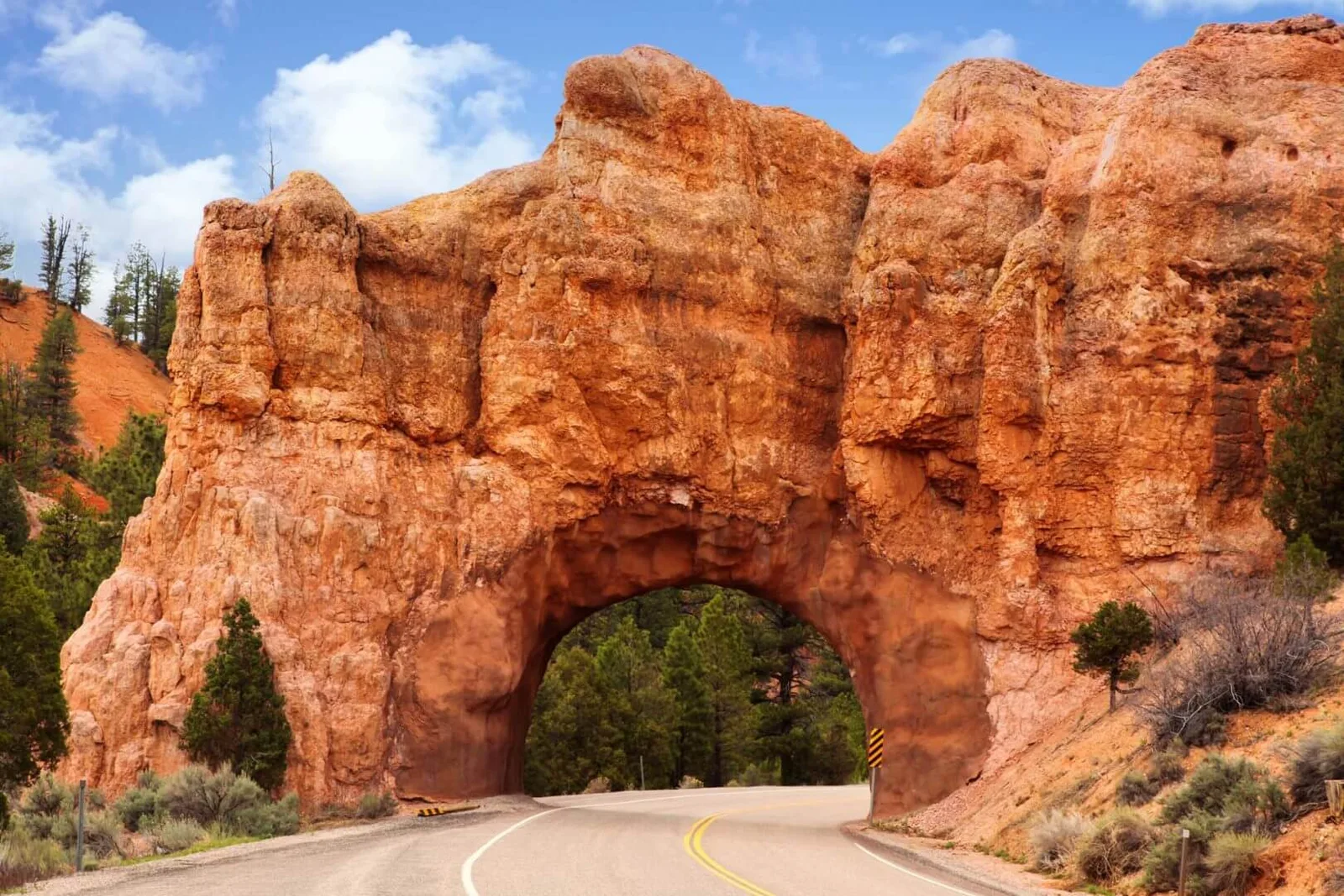
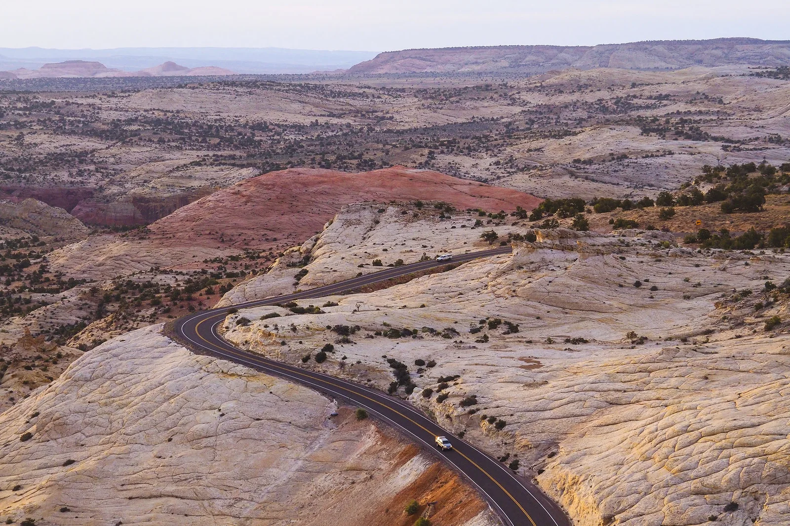
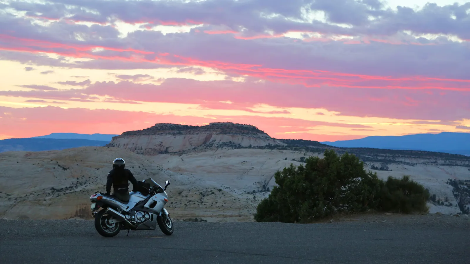
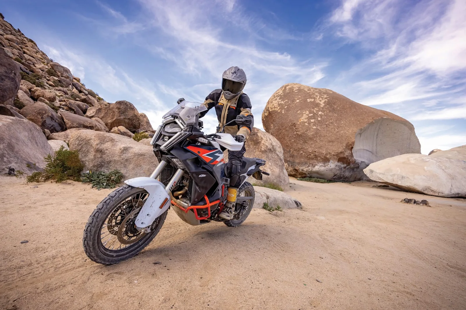
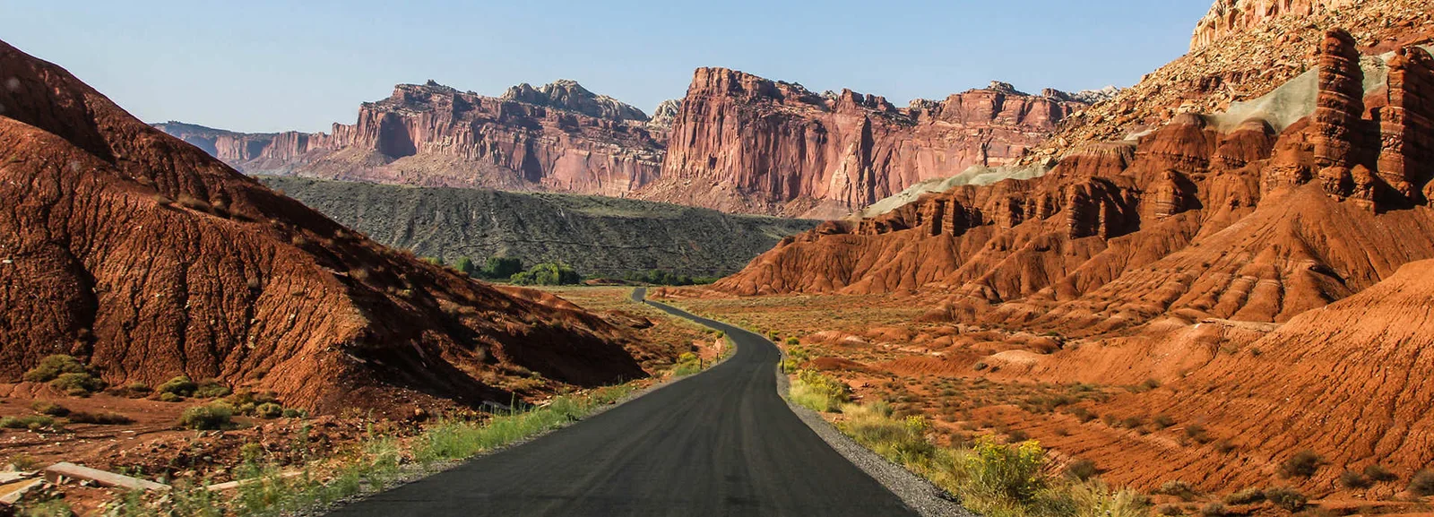
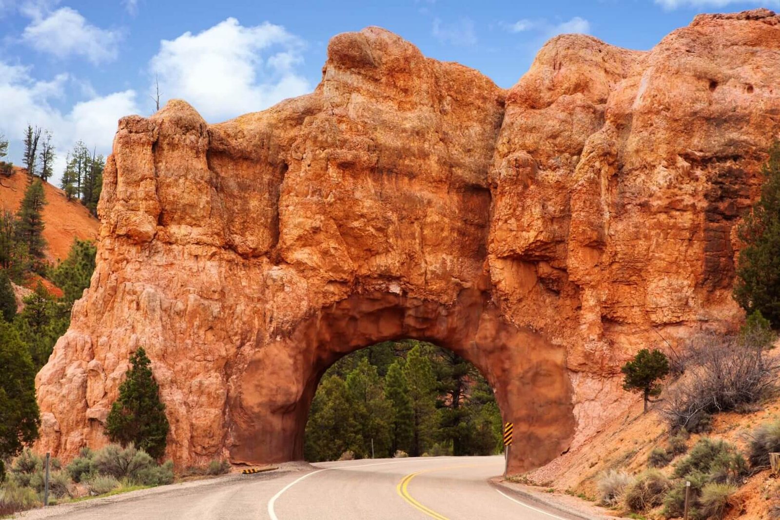
An All-American Road, which is a federal designation meaning the road itself is the destination — and for once the government undersold something. You climb Boulder Mountain through aspens, drop into the slickrock moonscape of Escalante, and then hit the Hogback: a ridge with a yellow line on top and a couple hundred feet of nothing on either side. You will pull over a lot. Not because you're tired — because your brain keeps filing formal complaints that none of this can be real. Budget twice the time you think. Then add lunch in Boulder.
Anything with a tank range over 150 miles. This is the sport-tourer's Super Bowl — but we'd take the XDiavel and just accept the fuel-stop math.
Torrey, Boulder, Escalante, Tropic. Do not skip Boulder.
Gates, weather and closures change — check conditions before you ride. Ride your own ride.
The shop is the trailhead. Text us and we'll tell you when the next ride-out rolls — all machines, all paces, zero judgment about how long it's been.